Wondering which Washington state natural disasters you should plan around? Flooding does the most damage, but earthquakes, volcanoes, storms and wildfire all shape the state’s risk.
For the wider picture of how the state plans and responds, see our overview of Washington state emergency management.
| Item | Value |
|---|---|
| Avalanche deaths in Washington | Roughly two fatalities per year |
| Earthquakes in Washington | More than 1,000 earthquakes each year |
| Major volcanoes | Five major volcanoes |
| People in identified flood hazard areas | Approximately 2 million people |
| Structures in mapped flood zones | More than $86 billion |
The figures come from the Washington Military Department hazards page and its flood page, which cites the state’s 2023 mitigation plan. They can change, so check the sources before you rely on them.
Which hazards shape Washington’s risk?
The state’s Emergency Management Division keeps a hazard list that mixes natural and technological threats. You can read the full entries on the Washington Military Department hazards page.
- Avalanches and landslides
- Drought
- Earthquakes and tsunamis
- Floods
- Severe storms and tornadoes
- Volcanoes
- Wildfire
- Hazardous material and radiological incidents
The division says that planning for these events lets you mitigate the risks, enhance safety and reduce recovery time. That framing applies to households as much as to businesses and governments.
This guide groups the hazards by what they have in common. Flooding comes first because the state treats it as the heaviest hitter.
Flooding: the costliest hazard
According to the state hazards page, damage from flooding exceeds the damage from every other natural hazard in Washington. The flood page adds that it is one of the most common and damaging hazards, whether you live near a river, on the coast, in a city or in a rural area.
The scale is large. Citing the 2023 State Enhanced Hazard Mitigation Plan, the Military Department reports that approximately 2 million people live in identified flood hazard areas. It also reports more than $86 billion in structures inside mapped flood zones, and says these estimates likely understate the risk because not every flood-prone area has been mapped.
When flooding tends to occur
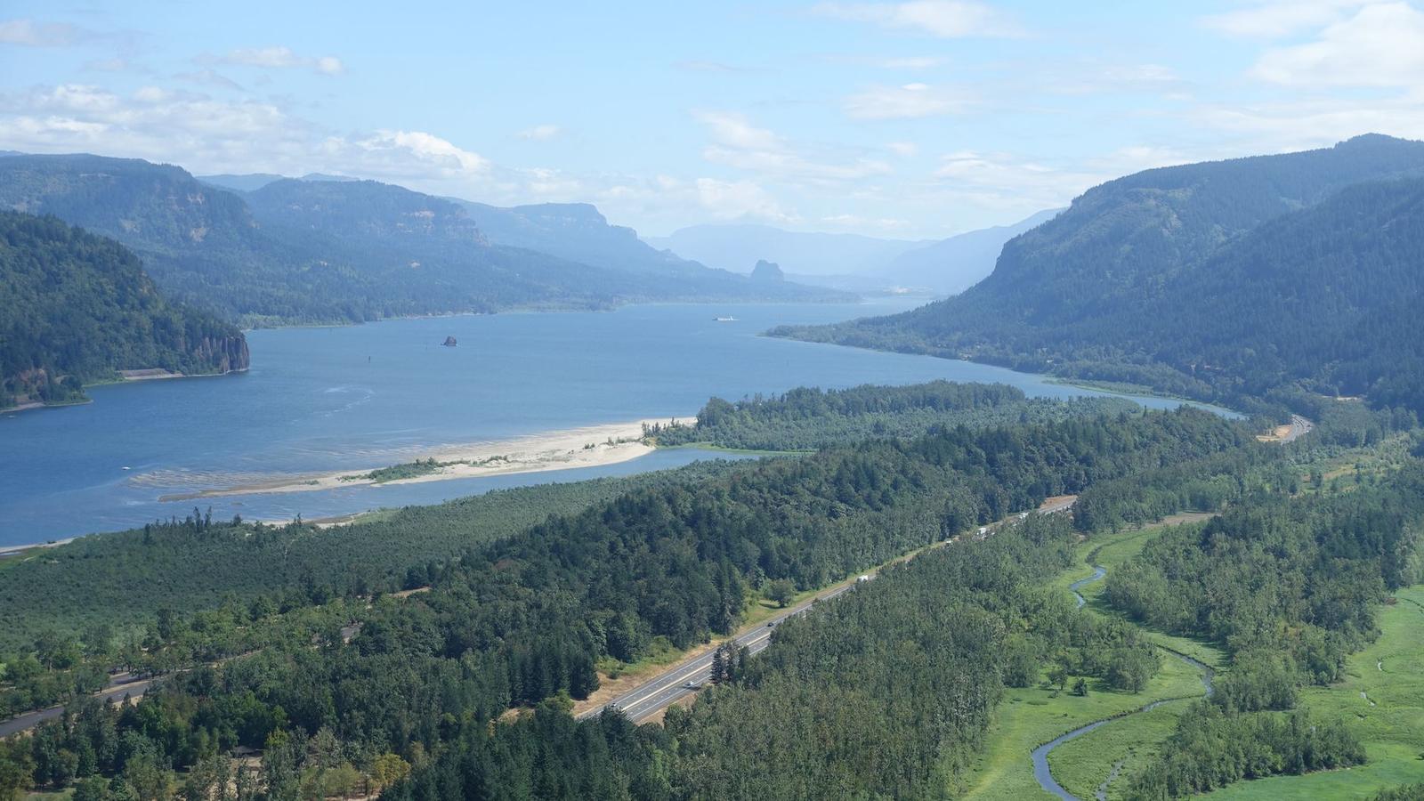
Flooding can happen year-round, but the cause shifts with the season and the place, according to the state.
- Fall and early winter: heavy rainfall on saturated or frozen ground.
- Winter and early spring: heavy rain combined with melting snowpack.
- Late spring: mountain snowmelt, particularly in Eastern Washington.
- Summer: intense thunderstorms that can cause flash flooding, especially in Eastern Washington.
- Year-round: coastal storms, high tides and drainage systems that become overwhelmed.
Why the risk is growing
The state points to climate change, more intense rainfall, changing snowpack, sea level rise and continued building in flood-prone areas as factors that raise Washington’s flood risk. Areas hit by recent wildfires are also especially exposed to flash flooding, erosion and debris flows when heavy rain arrives, as the flood page explains.
Its preparation advice is practical: sign up for local emergency alerts, check the National Weather Service forecast, and review your insurance coverage before water threatens. Our guide to Washington emergency alerts is a useful companion for the alert side of that list.
Earthquakes, tsunamis and volcanoes
The hazards page says more than 1,000 earthquakes occur in Washington each year. A dozen or more are felt, and occasionally they cause damage. For a closer look at the seismic side, read about Washington earthquake risk.
Tsunamis are a related water hazard. The state names the Pacific Coast, the Strait of Juan de Fuca, Puget Sound and large lakes as places at risk from these trains of powerful waves, which threaten people and property along shorelines.
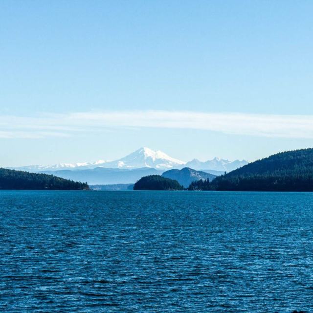
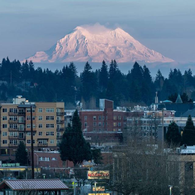
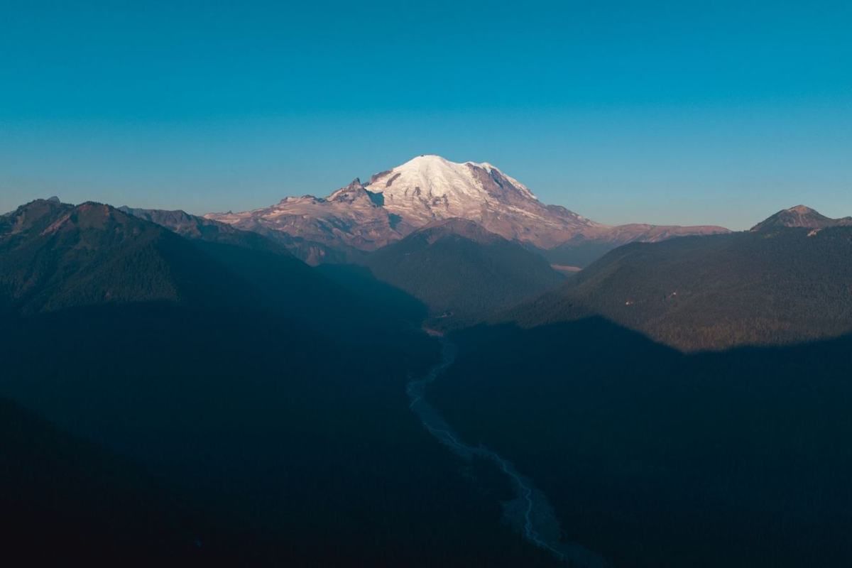
Washington also has five major volcanoes, according to the state’s list. The risk is not always apparent, because a volcano can lie dormant for centuries between eruptions.
Storms, tornadoes, wildfire and landslides
Severe weather is not confined to one corner of the state. The hazards page says all areas are vulnerable to a severe storm, which it defines as a disturbance bringing strong winds, large hail, thunderstorms, tornadoes, rain, snow or freezing rain.
Tornadoes can suddenly happen and then stop. Because of the landscape, they usually do not last long, and they may not receive an official EF designation until well after the storm is over.
Fire, slopes and snow
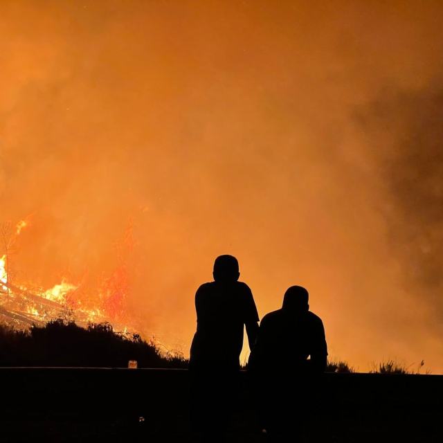
- Wildfire: short-term losses include timber, wildlife habitat, scenic vistas and watersheds, and fire also raises vulnerability to flooding. Long-term effects include smaller timber harvests, reduced access to recreational areas and damage to cultural and economic resources.
- Landslides: rock, soil and debris move down a slope, and the results can include lost lives, ruined homes, blocked transportation, undermined bridges, derailed train cars and damaged utilities.
- Avalanches: the state puts the toll at roughly two fatalities per year.
- Drought: over the past century Washington has had several episodes, including some that lasted more than a single season.
All of these claims come from the Military Department’s hazard summaries, which are short overviews rather than forecasts.
Hazardous material and radiological incidents
Not every emergency starts with weather or geology. The state’s list also covers hazardous material incidents, meaning intentional or unintentional releases of a material that poses a potential risk to life, health, environment or property because of its chemical, physical or biological nature.
A radiological hazard is the uncontrolled release of radioactive material that can harm people or damage the environment, per the hazards page.
Using this overview wisely
This site is an independent educational resource and is not an official agency. Treat it as background reading, and follow the directions of your local officials when a real event is under way.
To see how a specific property fits into the flood picture, the state’s flood page points to the FEMA Flood Map Service Center for your property’s mapped flood risk. You can find that link and the other tools on the flood page.
Frequently asked questions
Which natural hazard does the most harm in Washington?
Show answer
Flooding. Washington’s Emergency Management Division says its damage tops that of every other natural hazard in the state, according to the hazards page.
Which volcanoes does Washington list as major?
Show answer
The state names Mount Baker, Glacier Peak, Mount Rainier, Mount St. Helens and Mount Adams on its hazards page.
Can Washington flood in summer?
Show answer
Yes. The state’s flood guidance notes that strong summer thunderstorms can trigger flash flooding, with Eastern Washington singled out.
What is the difference between a flood watch and a flood warning?
Show answer
Per the flood page, a watch means conditions favor flooding, while a warning means flooding is imminent or already occurring.