If you live in or near the Cascades, Washington volcano hazards reach well beyond the crater. Five volcanoes can send mudflows, landslides and ash far down valleys and downwind.
This page is one part of the broader topic of Washington state emergency management, which covers hazards across the state.
| Item | Value |
|---|---|
| Major volcanoes in the Washington Cascades | Five |
| Reach of pyroclastic flows, lava flows and landslides | 10 or more miles away |
| Reach of lahars (volcanic mudflows) | More than 50 miles downstream |
| People living on former lahars below Mount Rainier | More than 150,000 people |
| Glacier Peak eruptions in the past 4,000 years | At least six |
| Mount St. Helens most recent eruption cycle | 2004-2008 |
These figures come from the Washington State Military Department volcano page. They can change, so check the source before you rely on them.
The five volcanoes in Washington
The state’s Emergency Management Division lists five major volcanoes in the Cascade Range, according to its volcano page. Each sits in a different county:
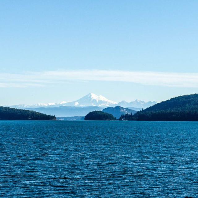
- Mount Baker in Whatcom County
- Glacier Peak in Snohomish County
- Mount Rainier in Pierce County
- Mount St. Helens in Skamania County
- Mount Adams in Yakima County
Volcanoes can lie dormant for centuries between eruptions, so the risk is not always apparent, as the state’s page explains. The same page notes that people are moving into areas near these mountains at a rapid pace, which is why it ranks the state’s volcanoes among the most dangerous in the United States.
How far can volcanic hazards reach?
When Cascades volcanoes erupt, the hazards fall into a few distinct types, and they travel very different distances. According to the Military Department, pyroclastic flows, lava flows and landslides can devastate areas 10 or more miles away. Lahars can inundate valleys more than 50 miles downstream.
- Pyroclastic flows: high-speed avalanches of hot ash and rock.
- Lahars: huge mudflows of volcanic ash and debris that follow river valleys.
- Ash fall: fine material from explosive eruptions that drifts with the wind.
Ash reaches the furthest. The state page says falling ash can disrupt human activities hundreds of miles downwind, and drifting clouds of fine ash can severely damage jet aircraft engines hundreds or thousands of miles away.
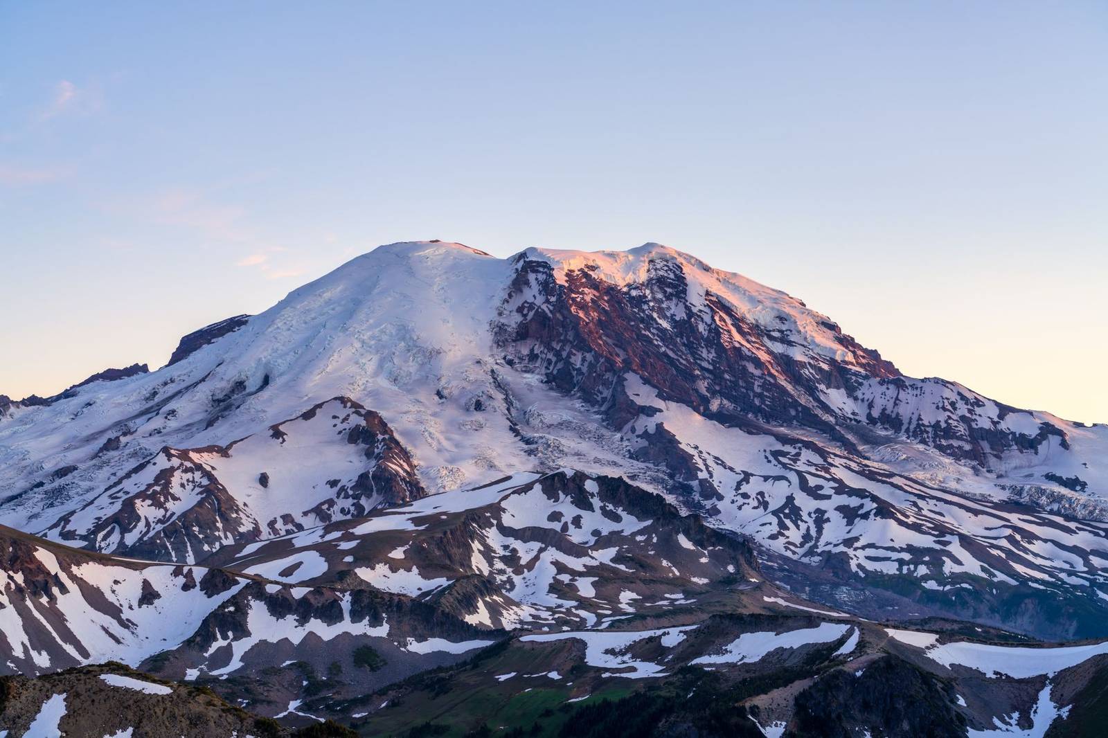
Mount Rainier, glaciers and lahars
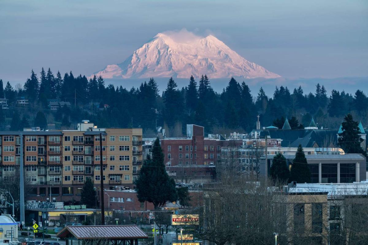
Mount Rainier is one of the most hazardous volcanoes in the United States, according to the state’s volcano page. It has produced at least four eruptions and numerous lahars in the past 4,000 years.
Two features make it especially prone to landslides and lahars. It is capped by more glacier ice than the rest of the Cascades volcanoes combined, and its steep slopes are under constant attack from hot, acidic volcanic gases and water.
The people most exposed live in the valleys. The same page says more than 150,000 people live on former lahars in river valleys below the volcano. It also shows a lahar drill held in Puyallup, and links to evacuation routes for Eastern Pierce County.
What Baker, Glacier Peak, St. Helens and Adams have done
Mount Baker erupted in the mid-1800s, the first time in several thousand years, per the Military Department’s page. Glacier Peak has erupted at least six times in the past 4,000 years.
Mount St. Helens is described as the most frequently active volcano in the Cascades. Its past includes explosive eruptions much larger than that of May 18, 1980. Its latest cycle lasted from 2004 to 2008 and built up the cone on the summit, as the state page reports. That page also cites the Pacific Northwest Seismic Network on lava spines with a cumulative volume of almost 100 million cubic meters.
Mount Adams has produced few eruptions in the past several thousand years. Its most recent activity was a series of small eruptions about 1,000 years ago, followed by a debris avalanche and lahar that inundated part of the Trout Lake lowland less than 500 years ago, according to the source.
Mount Hood and other volcanoes outside Washington
Oregon’s Mount Hood, about 50 miles southeast of Portland, poses some threat to Southwest Washington along the Columbia River, according to the state’s volcano page. The page says Hood has erupted repeatedly for thousands of years, most recently in two episodes in the past 1,500 years.
The last of those eruptions ended shortly before Lewis and Clark arrived in 1805. The April 2005 USGS assessment, as quoted on the same page, states that the threat posed by Mount Hood also is very high.
Staying informed about volcanic activity
Volcano monitoring is run by the USGS Cascades Volcano Observatory. Per the Military Department, you can subscribe to the USGS Volcano Notification Service for free and receive alerts by e-mail when volcanic activity changes.
Lahars travel down river valleys, so it can help to look at related hazards for your area too. You can compare them with the Washington flood maps guide and the Washington tsunami evacuation maps guide.
This is an independent educational site, not an official agency, and nothing here is an emergency instruction. For local plans and evacuation routes, use the sources your county and the state publish.
Frequently asked questions
Has volcanic ash from Washington ever travelled far?
Show answer
Yes. According to the state’s volcano page, a powerful run of Glacier Peak eruptions about 13,000 years ago left ash at least as far away as Wyoming.
Is there a free way to get volcano alerts?
Show answer
The state page points to a no-cost USGS service, the Volcano Notification Service, which sends e-mail alerts, as described by the Military Department.
Is Mount Baker showing signs of an eruption?
Show answer
Steam vents in Sherman Crater near the summit became more active in 1975 and remain vigorous. The state page says there is no evidence that an eruption is imminent.
Can volcanoes in other states or provinces affect Washington?
Show answer
They can. The Military Department notes that Mount Hood and volcanoes in British Columbia, Oregon and California can produce tephra, which falls on Washington.